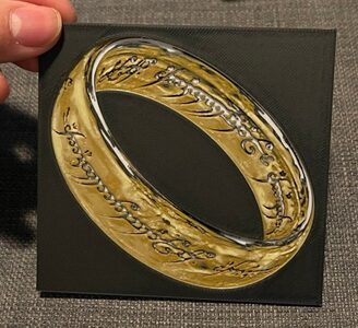
One Ring - Dual Print and Lithophane - Hueforge Print
MakerWorld · cyanidesugar

autor FritzPeppone · Printables
Licence (CC BY-NC (jen nekomerčně)) dovoluje jen nekomerční použití. Stáhněte si soubor u zdroje, nahrajte ho k nám a vytiskněte na pronajaté tiskárně pro vlastní potřebu, ne na prodej.
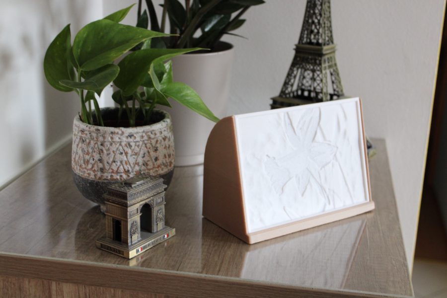
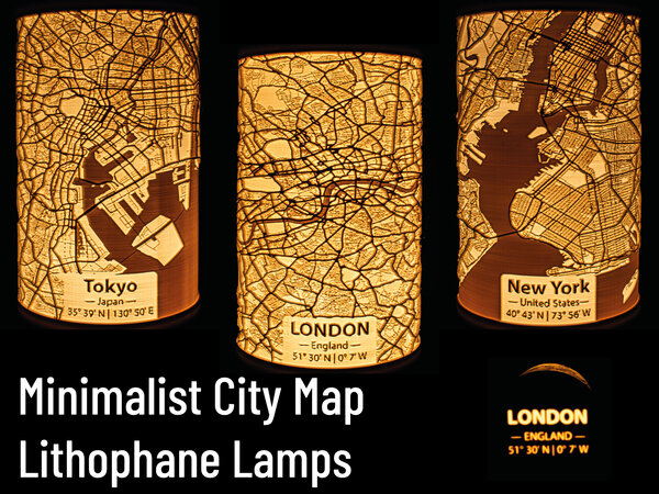
Nahrát soubor a vytisknoutYour city as a LithophaneWhile I continuously add new major cities to this collection, I may not have done your city yet. You can comment your city below and if I have enough free time, I may or may not create a Lithophane model for it. You may also create your own Lithophane! I uploaded a tutorial, detailing my workflow in creating these lamps. You can find it here: https://www.printables.com/model/1213781-minimalist-city-map-lithophane-lamps-tutorial It is published with a Public Domain license. So you can upload your own creation under your own terms and even use it commercially!If you don't want to create an entirely new model, but only want to add minor changes or a personal touch to an already existing upload here (different label, inverse map, …) feel free to ask for high resolution map renderings. I'll gladly share them!Your lamps may also have been created by the community. Check the remixes of this model and the list below! IntroductionFollowing the popularity and success of my Solar System Lithophane Planet Lamp Collection - 205mm³ and Solar System Lithophane Planet Lamp Collection - 75mm³ models, I decided to create further Lithophane lamps. This time, I am focussing on maps. The Minimalist City Map Lithophane Lamps represent urban geography using OpenStreetMap data. Rendered and processed to highlight street networks and spatial structures, they provide a tangible 3D representation of urban features. The lithophane technique encodes geographic data into a relief, making geograpical features, city layouts and infrastructure patterns accessible for education and analysis.All models (except for Fantasy Maps) included in this upload were created using OpenStreetMap data. The minimalist map renderings are original works, created with QGIS. The lithophane generation itself was done with lithophanemaker. The original creators of the Fantasy Maps I used are mentioned in the Acknowledgements.If you like my work, please consider supporting me.
MakerWorld · cyanidesugar
matplace
MakerWorld · 3DPrintBunny
Printables · MeasureOnce
MakerWorld
Printables · Carl D
Printables · RetromanIE
Printables · LMF5000
Cookies a měření. Nezbytné cookies jsou vždy; měření návštěvnosti a reklamy jen s vaším souhlasem. Víc o cookies